
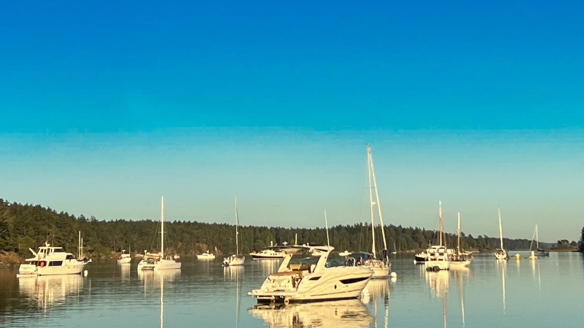
Field-tested cruising guides
Find your next
salty ball.
Real-world mooring, anchoring, services, hazards, and shore information—verified by boaters.
17Island guides
01Regional chart room
Start here / The Chart Room
Choose an island.
Plan the approach.
Use the regional map to explore anchorages, marine parks, docks, supplies, shore access, and firsthand notes across the San Juan Islands.
Open the interactive map Orientation map · Use current official charts for navigation
Featured field guides
Start with a few favorites.
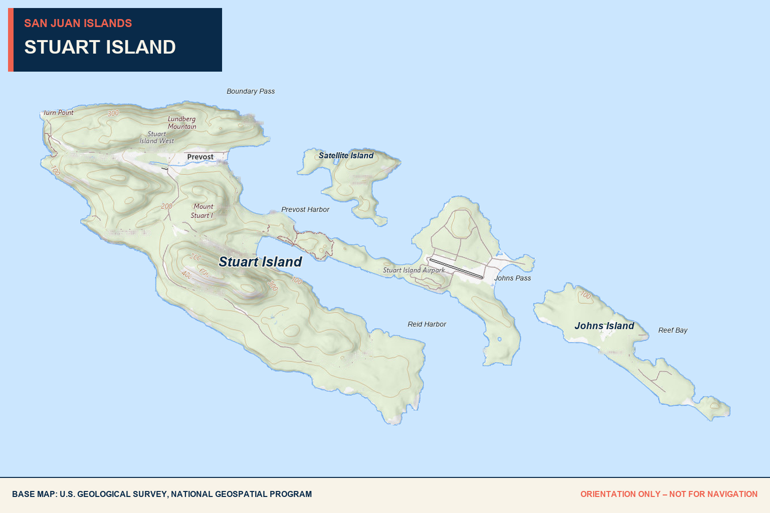
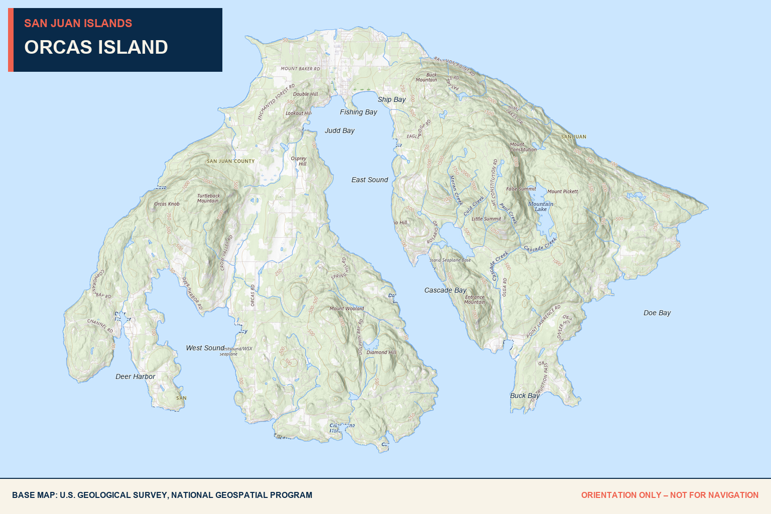
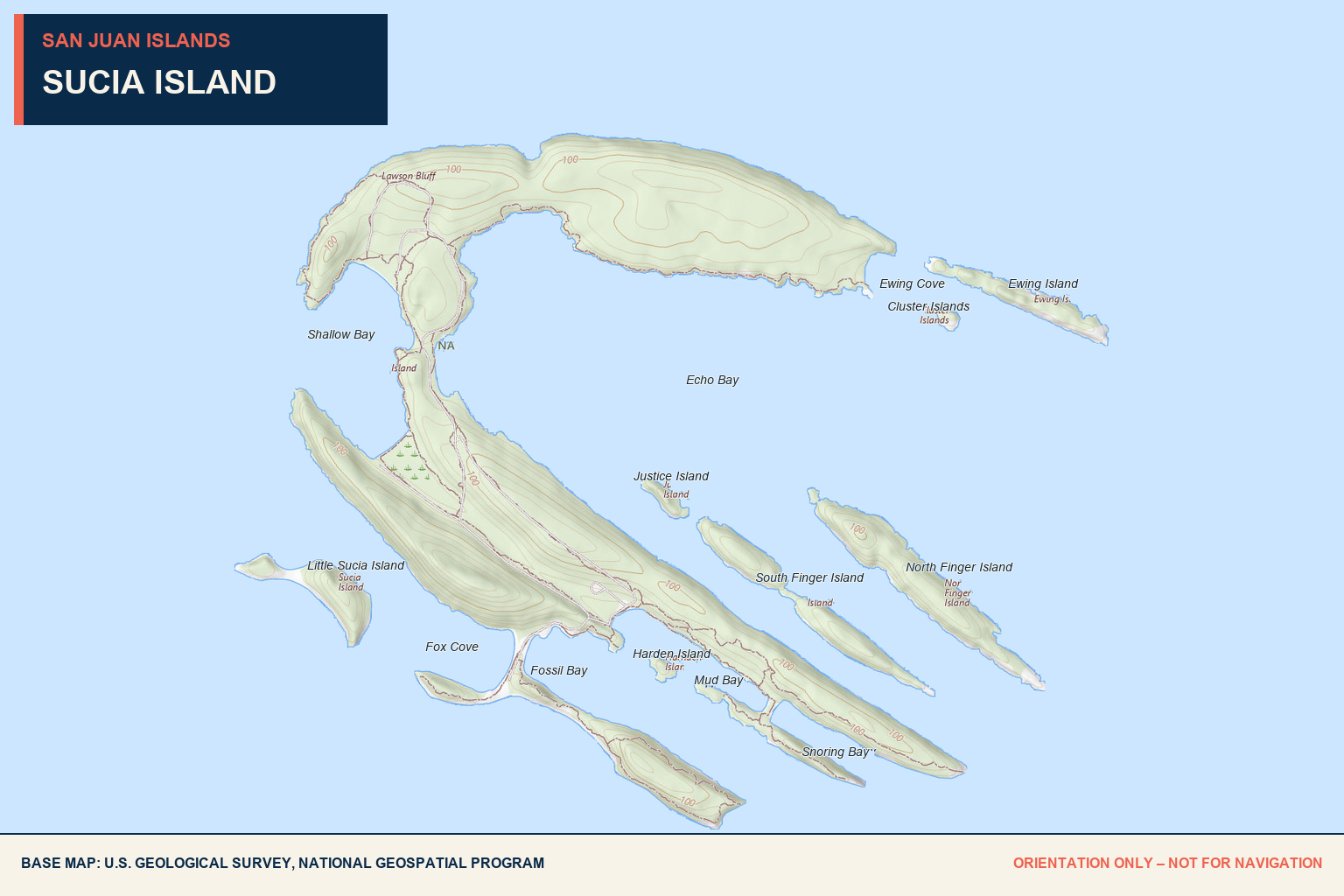
Built for the next arrival
The details boaters need—without the digging.
01Mooring + docksBuoys, dock footage, anchoring, fees, and pumpout.
02Boating conditionsApproaches, hazards, exposure, and local considerations.
03Services + suppliesFuel, maintenance, provisions, dining, and shopping.
04Ashore + historyTrails, camping, connections, landmarks, and local stories.
05Baller VerifiedDated firsthand notes, photographs, and visit records.
Baller
Verified ✓
Verified ✓
Firsthand, dated, transparent
Know what was researched—and what we experienced.
Official information stays connected to authoritative sources. The Baller Verified mark identifies what Salty Ballers personally visited, observed, and photographed.
See how verification worksThe guide should keep changing
Know a great salty ball?
Share a change, a local tip, or a favorite boating destination. Community updates help keep every guide useful between visits.
Send local intel