Stuart Island

Stuart Island State Park:
20 buoys (number of buoys were removed for repair dummer 2024)
448 feet of dock
A pumpout station
In addition, there are plenty of good anchorages the entire length of the harbor. Please be sure to respect the private buoys, docks, and property surrounding the park.
Moorage Fees are charged 1 p.m. to 8 a.m. year-round. All boaters must register and pay upon arrival. Boaters must also pay for boats rafted to another boat. (pay station is on land between Reid and Provost Harbors - near the top of the ramp)
The park also has 14 primitive campsites and four marine trail sites. Camping is available on a first come, first served basis. Most sites are located on Prevost Harbor or on the ridge that separates Prevost and Reid harbors. There are outhouses available in the camping areas. This is a popular site for kayakers to come in for camping.


Provost Harbor
Prevost Harbor has 7 buoys and a 128-foot dock (256 feet total).
Latitude: 48° 40' 41" N (48.6780) Longitude: 123° 11' 49.99" W (-123.1972)
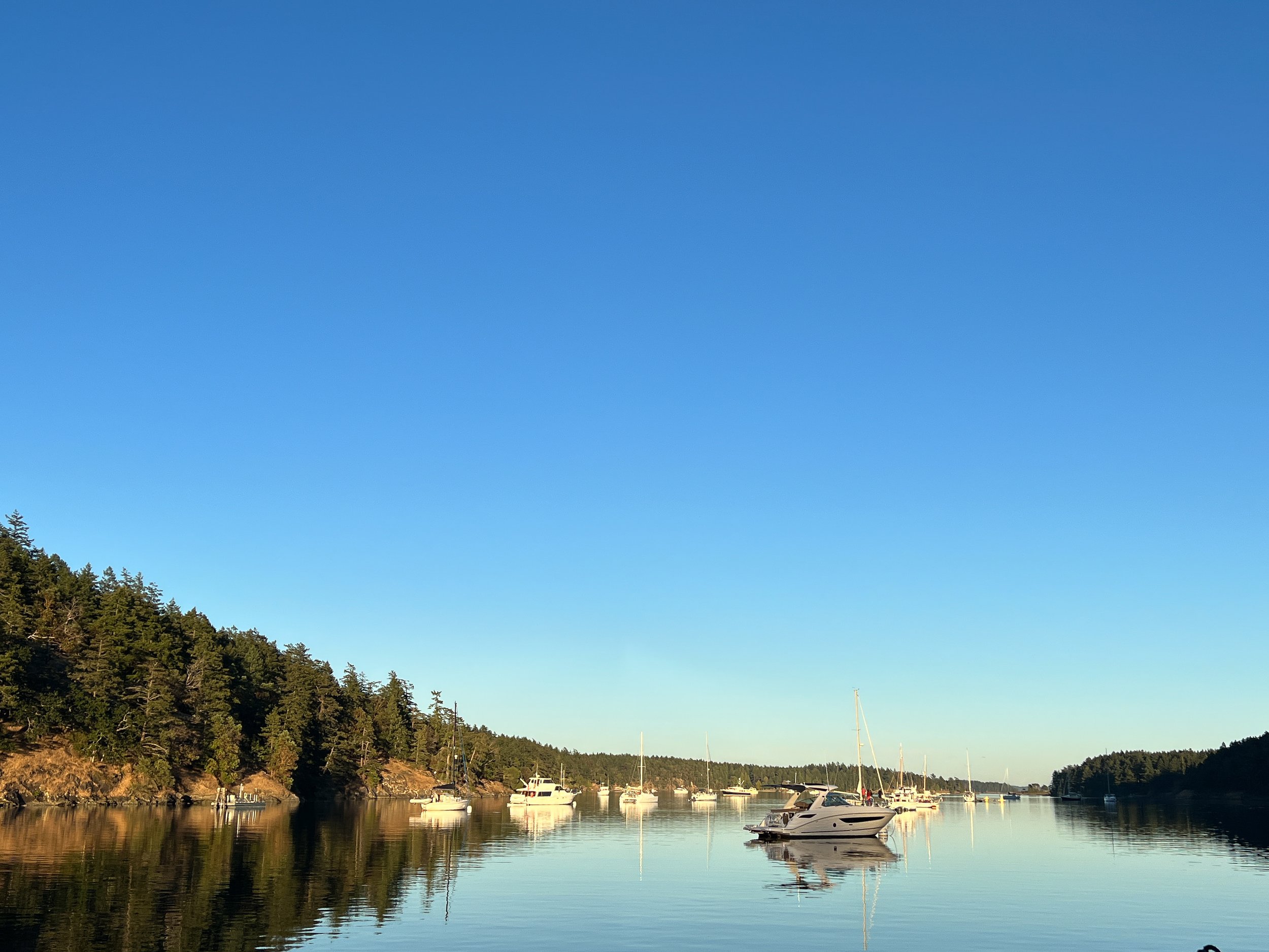
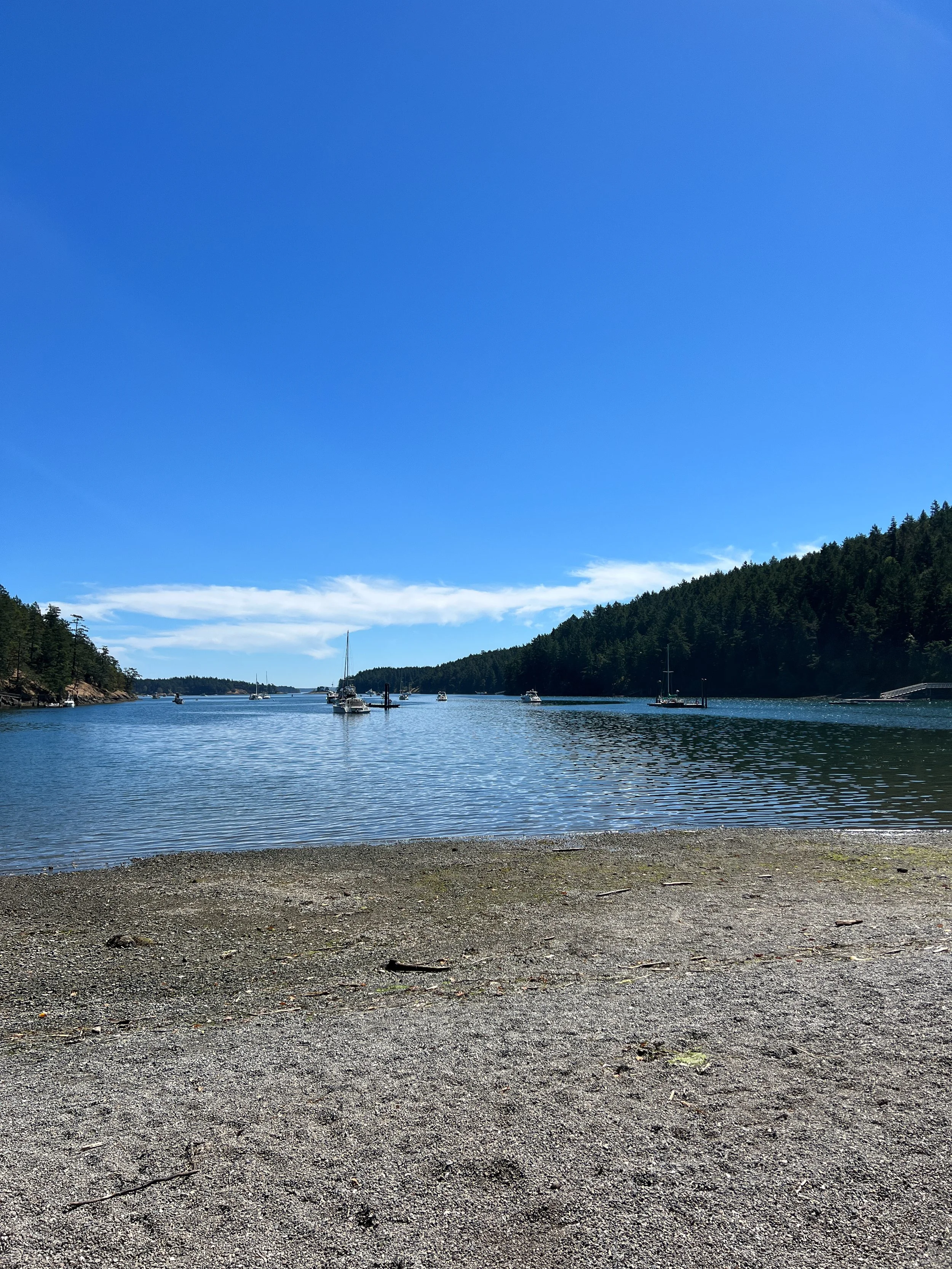
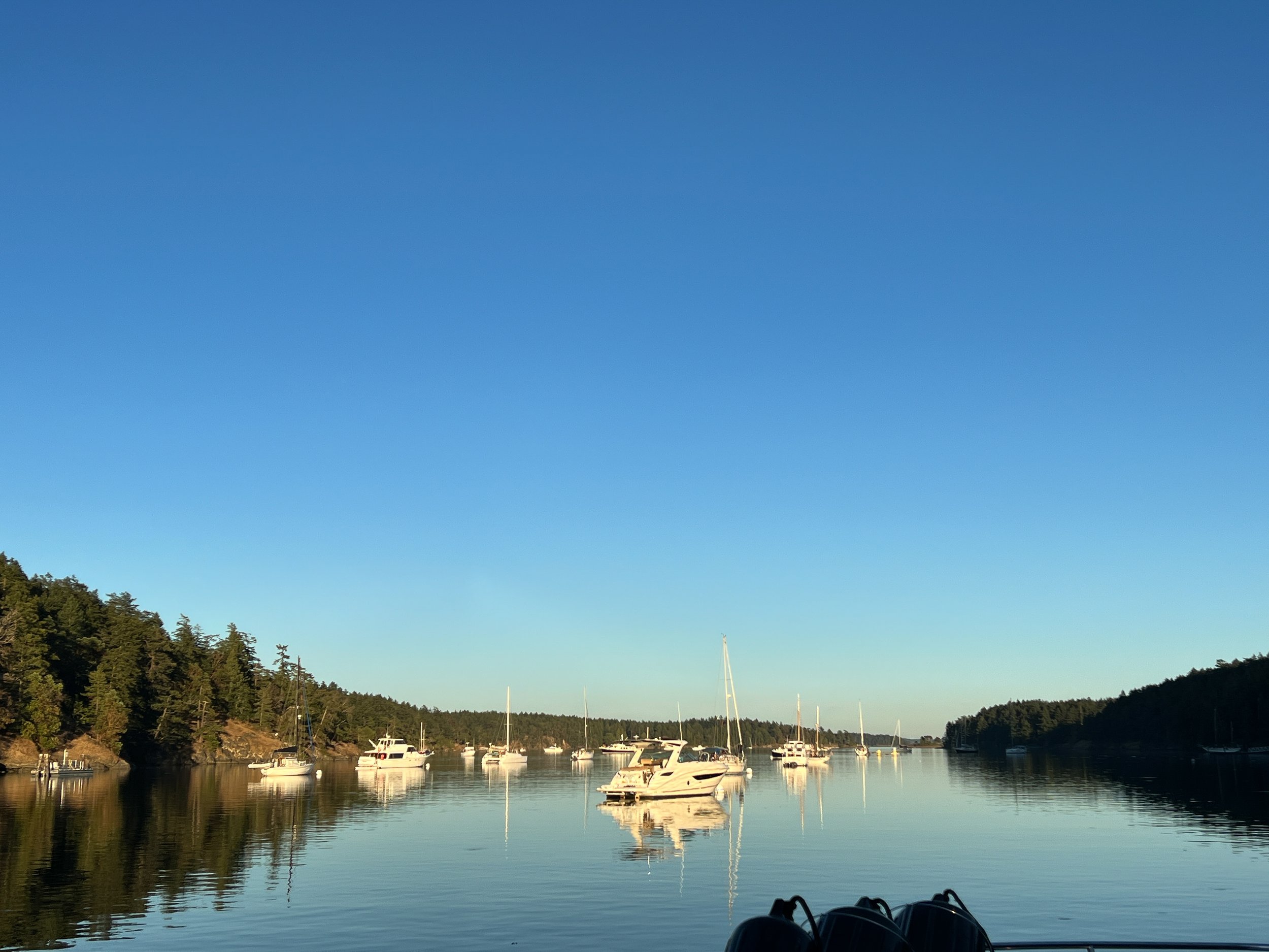
Reid Harbor
Reid Harbor has 13 buoys and a 96-foot dock (192 feet total) - multiple buoys were removed for improvement summer of 2024
Latitude: 48° 40' 19.92" N (48.6722) Longitude: 123° 11' 34.97" W (-123.1930)
BOAT PUMPOUT
This facility is open year-round, 24 hours a day. This facility has a floating dock available year-round. There are two slips available for pumpout usage. Access to this pumpout is limited to vessels with a length of no more than 60 feet. The pumpout is located on a barge. There is a stationary pumpout located at Reid Harbor. This facility also has a portable toilet dump station located at the Reid Harbor barge.
Latitude: 48° 40' 28.90" N (48.6747) Longitude: 123° 11' 55.87" W (-123.1989)
A Little about the island:
Stuart Island is 2.881 sq miles. It is home to 2 communities of full-time and part-time residences, a one room school house and two airstrips. Popular hikes include a walk to the one room school house and a stop at the “Treasure chest”. Another popular hike is a longer walk out to Turn Point Light Station. Destinations are accessible by a county road.
What is the Treasure Chest? This is a little shop, accessible only by hiking up the county road. You can buy T-shirts, sweatshirts, cards, etc from local artists. The store is all on your honor you can bring cash or pay online. It is run by Ezra and Loie Benson who live on the island and raised their kids there. (They also often have water - which you may want after the long trek uphill to get to the shop / school)

Baller Verified:
We have stayed at Reid harbor 8/2022, 8/2023, 8/2024
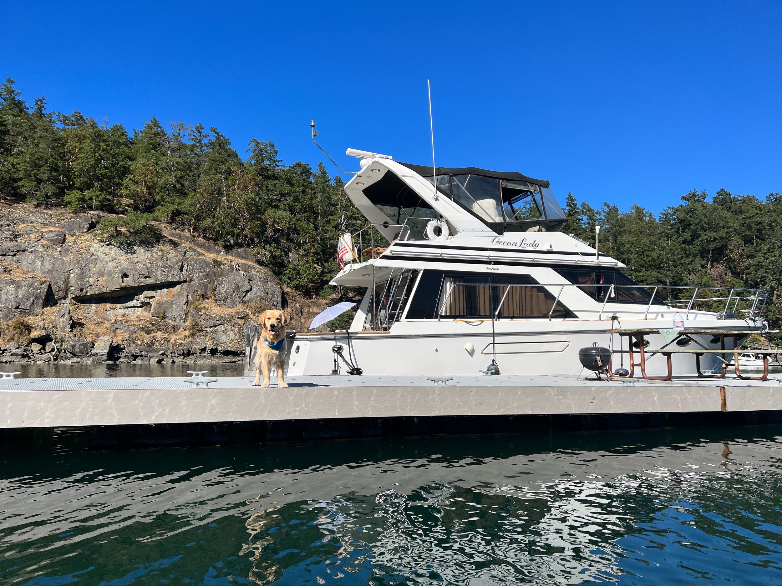
This is one of our favorite locations in the SJI for overnight moorage. Each year we plan on staying one night but often end up spending two. Reid harbor is very well protected, so even when the weather is a little rough it is a lovely spot.
We love this location for getting off the boat and hiking on the island. We always walk up the road to the one room schoolhouse and stop and get some goodies at the treasure chest. We pay online (which we often have to wait until we are in another location as cell coverage isn’t very good inside of Reid Harbor). Pay at https://www.boundarypasstraders.com if you want a further hike, the hike out to the lighthouse along the county road provides amazing views.
Walkway up to the pay station on Reid Harbor is quite steep, it was recently updated, but remains very steep.
There are no other services or provisions available at this location